


MOBILE exercise app Strava has released data that reveals the most popular walking and cycling tracks in Baw Baw.
First published in the 27 February edition of the Warragul & Baw Baw Citizen.
ADVERTISEMENT
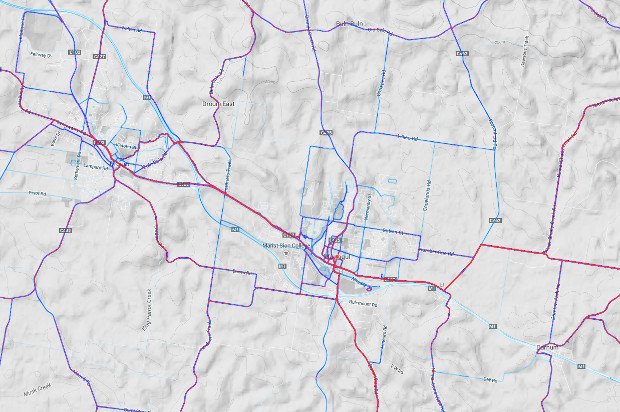
Strava’s “heatmap,” which shows the popularity of bike and running tracks based on GPS tracking of users, suggests the most popular trails and paths among app users were in and around Warragul, Yarragon and Drouin.
In those areas some of the most popular routes for runners and cyclists alike were along Bona Vista Road, Yarragon Shady Creek Road and the Two Towns trail between Warragul and Drouin.
In the rest of Drouin and in Trafalgar there was less activity from cyclists and runners recorded.
The popularity of rural roads around Warragul and Yarragon can be attributed to the Warragul Cycling Club and other cycling groups.
ADVERTISEMENT
Data from the app suggests the most popular areas in Drouin were around Lardner, Coster and Longwarry roads, while in Trafalgar the track near the Princes Highway, South and North Canal Road and Waterloo Road recorded the greatest amount of activity.
The data is limited by town population and the number of Strava app users, and does not include data from other exercise apps.
Strava draws data from three million app user activities per week globally.
You can check out the heatmap at labs.strava.com/heatmap.
Follow the author on Twitter:
Follow @jack_m_lacy


I would agree Yarragon Shady Creek Road is very popular with bike riders, overtake heaps on this road, especially on a Sunday, luckily most are good road users, but a few large groups have been difficult to pass recently, guess they didn’t see the ads Baw Baw shire ran back in 2013/14 about sharing the road